Counter-drone intelligence, decision support and advisory.
Know what drones are doing near your sites, who may act, and what to do next. Veteran-led, in Austin, Texas.
Three ways we help
- 01
C-UAS PortalComing soon
Worldwide drone incidents linked to their sources, platforms and tactics, U.S. and European law and authorities, airspace, and the planning and reporting work that sites and agencies do.
- 02
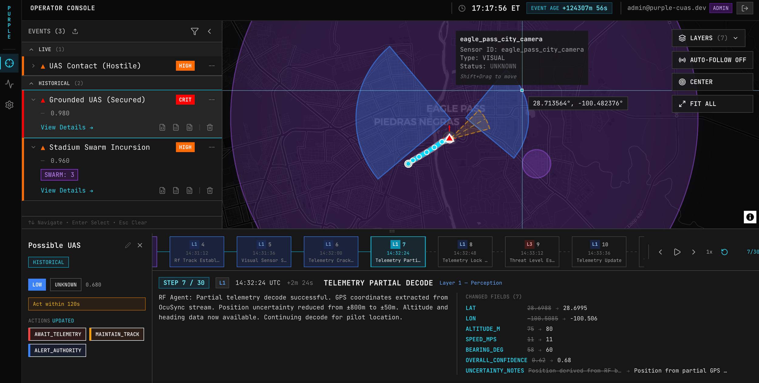
Decision Support
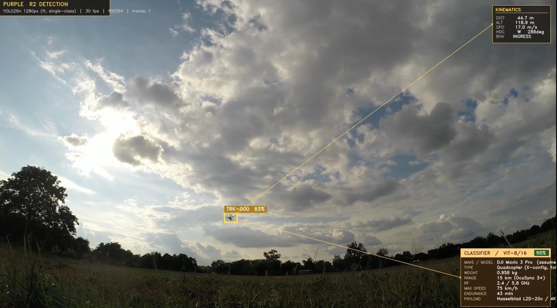
PURPLE and the tools that follow it: AI-enabled decision support, scenario planning and gap analysis for layered counter-drone defense. The AI advises; a person approves every action.
- 03
Advisory
Selective advisory drawing on a network of leading experts: assessments, red teaming, tabletop exercises, policy and training. By inquiry only.
Threats move faster than procurement.
Drone technology is evolving faster than the procurement cycles built to counter it. Operators in the field need systems flexible enough to keep pace with new threats, and simple enough that they do not add to the operator's load in the moment it matters most.
Lantern UAS builds those systems, and the intelligence and planning around them.
Most counter-drone spending goes on sensors and effectors. The hard part is often everything between them: knowing what normal looks like, deciding quickly who may act and how, and keeping a record that stands up afterwards. That is where we work.
The counter-drone decision chain:
- Detect: Radar, RF, EO/IR, acoustic; Remote ID and reports; Track and identify.
- Decide: Assess threat and intent; Check authority and rules; Rank options; a person approves.
- Respond: Notify and coordinate; Act within authority; Record and report.
AI advises and people approve every action. Every event is recorded and informs the next plan.
The picture, and the decision
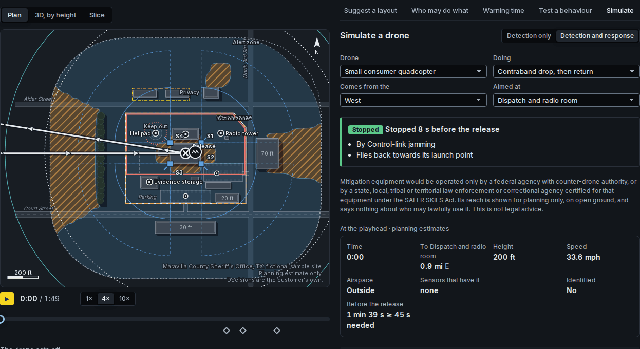
Each group comes with a different question. Choose yours to see how we answer it.
- MilitaryInstallation and force protection planning, threat picture and decision support.
- FederalAuthorities, policy tracking and the records behind counter-drone decisions.
- Critical infrastructureSite threat picture, coverage planning and pattern of life for operators.
- Law enforcementAuthorities, SAFER SKIES workflows and reports for state and local agencies.
- AviationAirport incident picture, airspace and detection planning.
- InternationalWorldwide incidents, European law and selective advisory for allied buyers.
Working with government
Lantern UAS works with government as a prime or a subcontractor. Our capabilities statement and registration details are on the Government page.
Tell us what you are protecting.
We will talk through your drone threat picture and say plainly whether and where we can help. Contact us or write to info@lanternuas.com.